
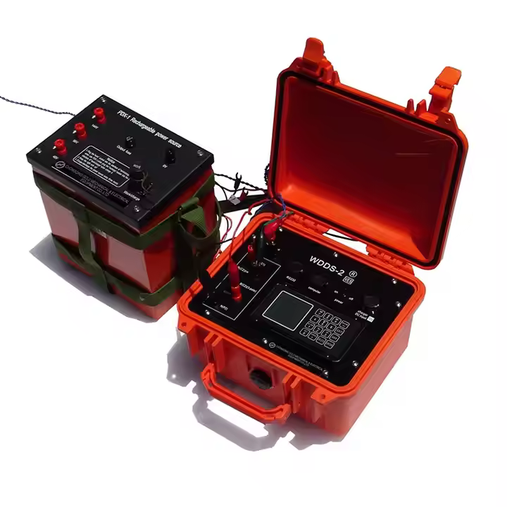
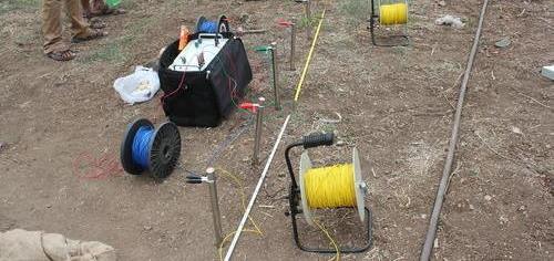
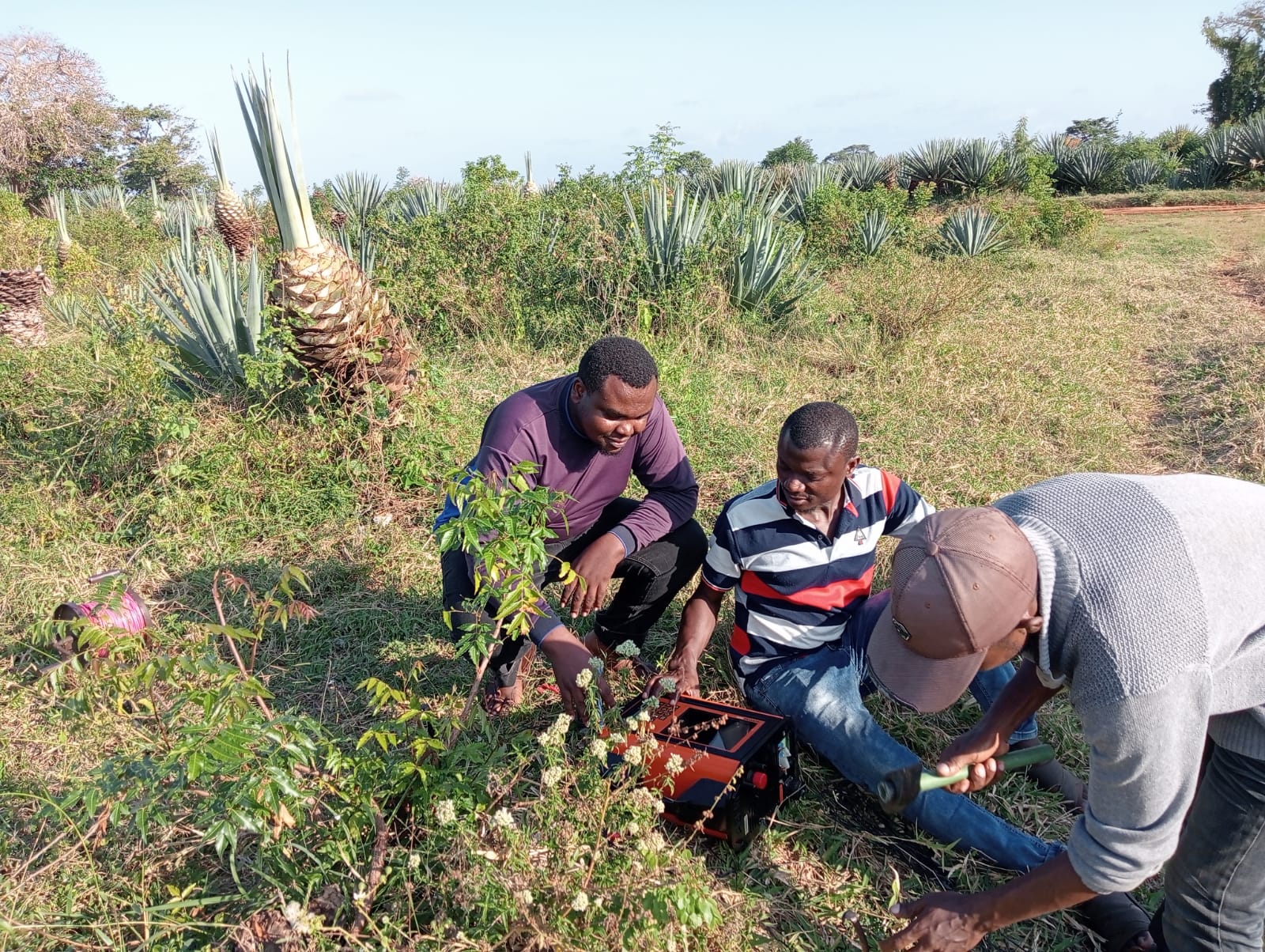
Before borehole drilling there is need to conduct a Hydro-geological Survey in the proposed site. Generally groundwater is unequally distributed surveys ascertains suitable sites for exploration of significant quantities of groundwater before carrying out any drilling exercise. This ensures the best spot is selected according to the geological data and our clients’ plan. The hydro-geological data, maps, graphs and cross-section profiles obtained from the hydro-geological survey are used in determination of important information such as estimation of drilling depth and Identification of stress areas.
We carry out Borehole Site Investigations, groundwater availability studies and management, water resources management, aquifer mapping and modelling, wellfield designs, and groundwater monitoring. We further assist you in Borehole condition assessment, groundwater recharge estimation, groundwater quality assessment, and determination of groundwater abstraction patterns.
The following procedure is as followed;
Monday - Friday: 8:00 AM - 5:00 PM
Saturday: 9:00 AM - 1:00 PM
Sunday: Closed